ArgoTechno
What is ArgoTechno?
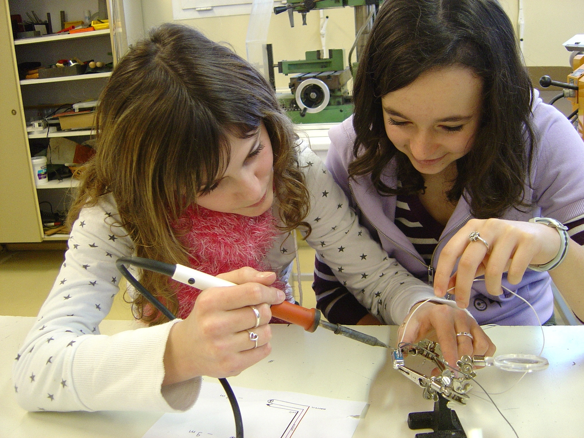
ArgoTechno enables classes to develop sensors and/or buoys as part of the ArgOcean (ocean research) or ArgoHydro (continental surface water) projects.
When released into the water during oceanography missions or by either the students or navigators, the experimental devices will either be allowed to drift, or will be anchored in place. Equipped with a telemetry system and located by satellites (Argos, GPS), these devices transmit data from their on-board experiments for analysis.
Resources implemented
CNES offers four different resources:
- To take local measurements for ArgoHydro projects focusing on lakes and rivers, etc. or ArgOcean projects focusing on estuaries and coastlines, etc.), the experimental devices will be tracked by MANGO 2 via GPS).
- PTo measure ocean currents, HERA 3 (Argos) will be used.
- To test sustainable development devices, the ECHO project will be the first choice.
- Access can be provided to platforms such as PAMELi, developed by scientists.
For teachers interested in one of these tools, please describe your project and specify your requirements on  fiche_argotechno_2019.doc (doc - 376.5 Ko)
CNES provides training and, depending on the resources available and the project's state of progress, can loan measuring equipment and provide technical support through the Tenum company.
Please note: projects take approximately 40 hours and require access to technical equipment for welding, cutting, gluing, etc.